Este sitio web utiliza cookies propias y de terceros para mejorar la experiencia de navegación, y ofrecer contenidos y funcionalidades de interés. Para más información sobre las cookies utilizadas consulta nuestra
política de cookies
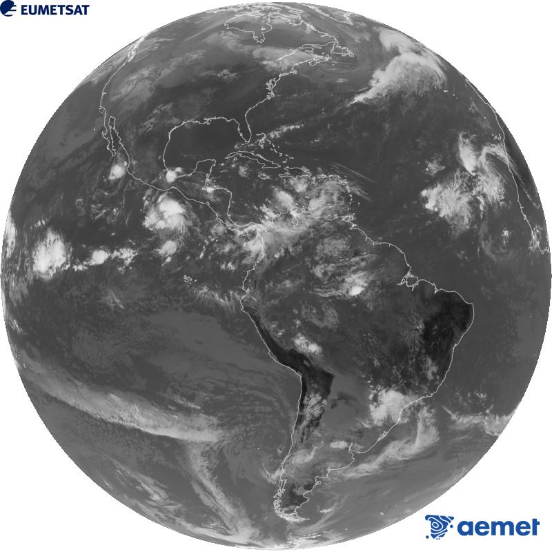
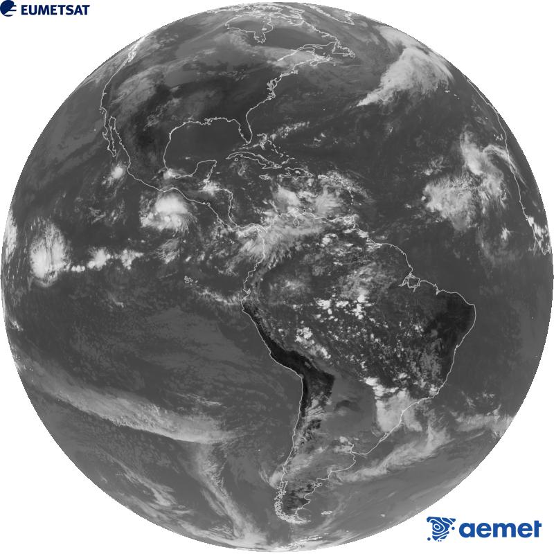
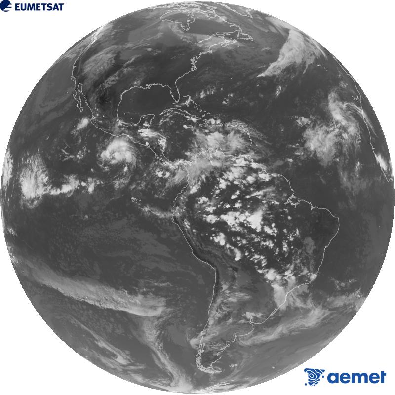
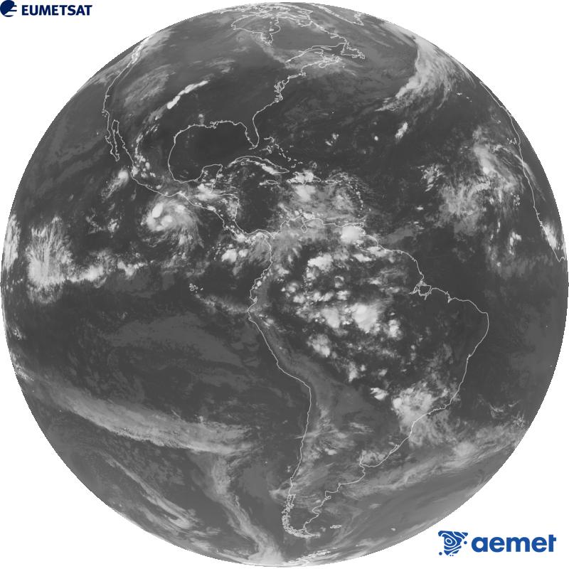
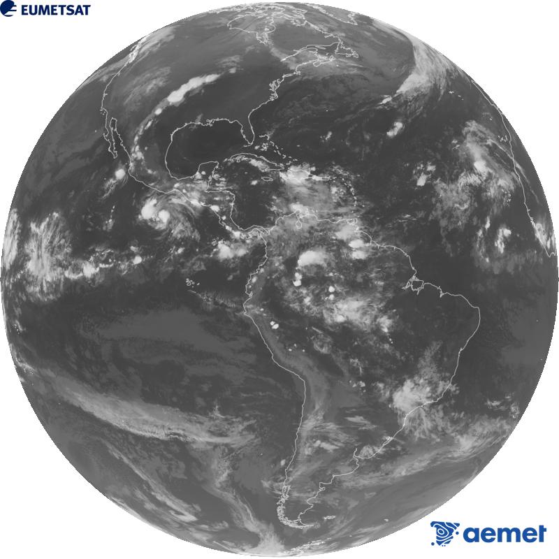
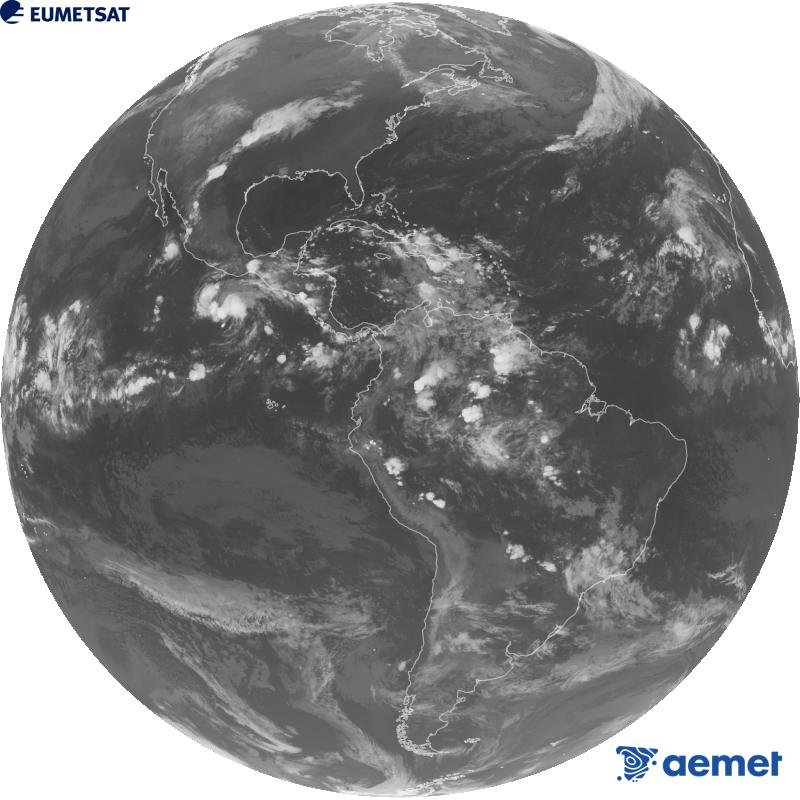
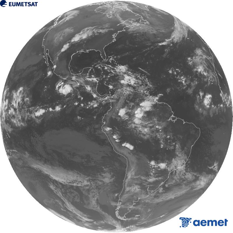
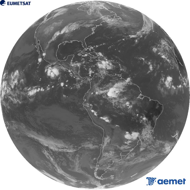
Global image from the infrared channel (wavelength 10.3 µm) of the US geostationary satellite GOES-19. All times refer to the peninsula (one hour less in the Canary Islands).