My website
Official aplication 'El Tiempo de AEMET' (Android & iOS)
Contact
Site map
Follow us on Facebook
Follow us on Twitter
AEMET blog.es
Follow us on YouTube
RSS

Satellite Images

Vegetation rate

This image is made from NASA's MOD13A1 product with a combination of visible and near-infrared data from the MODIS instrument carried by the Terra and Aqua satellites, which gives an idea of vegetation development. This is because vegetation absorbs a lot of visible channel radiation but strongly reflects near-infrared radiation. The image has a resolution of 500 m, is refreshed every 16 days and shows the data accumulated in the indicated period. The image finally presented here is the result of a collaboration between AEMET and IGN.
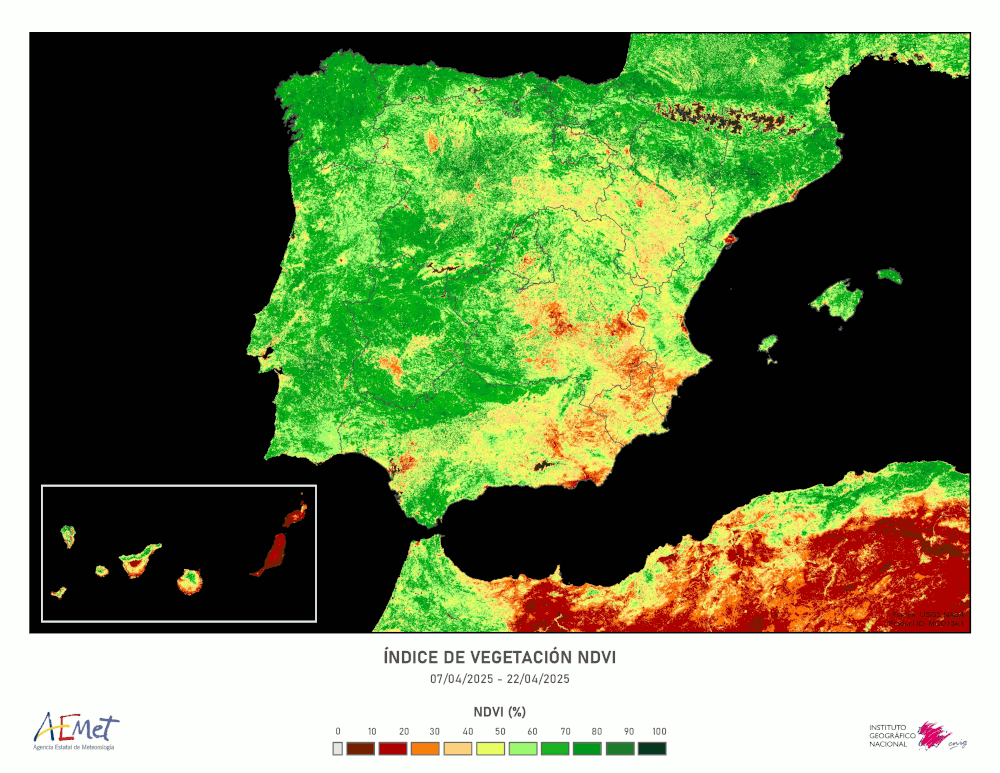
This image is made from NASA's MOD13A1 product with a combination of visible and near-infrared data from the MODIS instrument carried by the Terra and Aqua satellites, which gives an idea of vegetation development. This is because vegetation absorbs a lot of visible channel radiation but strongly reflects near-infrared radiation. The image has a resolution of 500 m, is refreshed every 16 days and shows the data accumulated in the indicated period.

The image finally presented here is the result of a collaboration between AEMET and IGN.
Email
Share on Twitter
© AEMET. The use and reproduction of this information is authorized only if AEMET is identified as its author
Official aplication 'El Tiempo de AEMET' (Android & iOS)
Follow us on Facebook
Follow us on Twitter
AEMET blog.es
Follow us on YouTube
RSS